
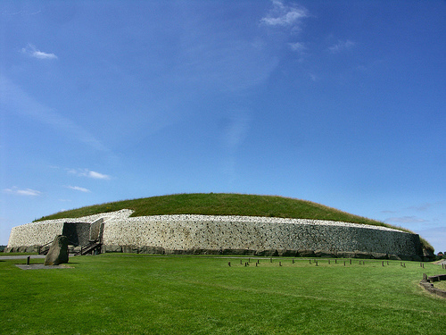
Just a quick post to let everyone know that the on-line RMP database mapping (a list of recorded archaeological monuments) at Archaeology.ie has been updated. It’s now based on ordnance survey mapping and at first glance it appears far more accessible and user friendly than the previous version, which was frankly torturous to use at times. Each of the RMPs listed now carries a brief description, which is specific to that site, rather than the previous generic text. You can also overlay the RMPs on an aerial image. All in all a great tool for archaeologists.
Compliments to all those involved in this new look site!
Links: ON-line RMP mapping


Just to let people know archaeology.ie is currently down (June 24th) after being hacked but the RMP database mapping is still up and running.
archaeology.ie is still down, I am trying to contact the keeper of the shipwrecks database , does anyone have an email address or phone number for them. Thanks
Hi Mick,
You could try the Underwater Archaeology Unit of the National Monuments Service
Their details are:
Underwater Archaeology Unit
National Monuments Service
Department of Arts, Heritage & the Gaeltacht
Windmill Lane, Reen Point,
Blennerville,Tralee,
Co. Kerry.
Ph. 00353-66-7144752
Hello, I’ve just found your maps and as a complete amateur am very excited by them. I’ve noticed that some possible sites in my locality are not listed. Is there a way to get them identified on the maps as possible sites that maybe need verification by professionals?
thank you for your time